
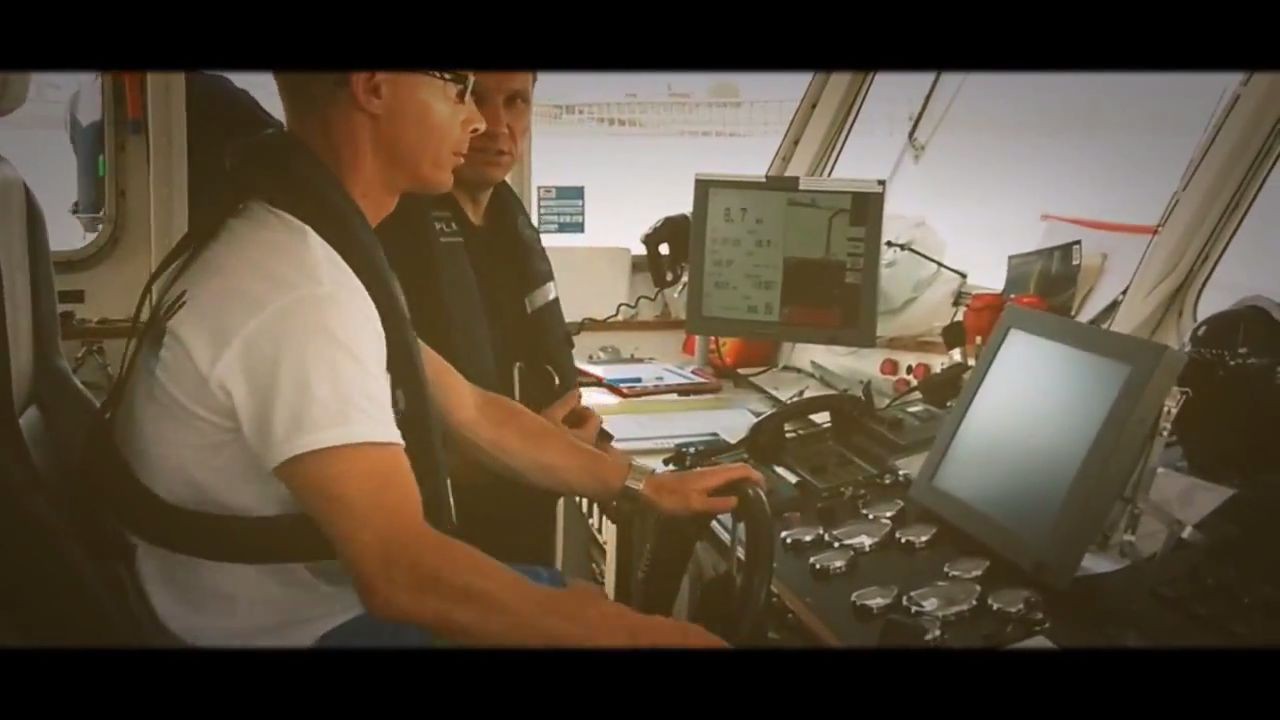
I have just posted a few days ago a short video about new way of surveying. Not really a very new – but I do not think a lot of hydrographers or surveyors had a chance to survey in such a way…. so worth to add this to my blog to make this more resistant for disappearing from the network….
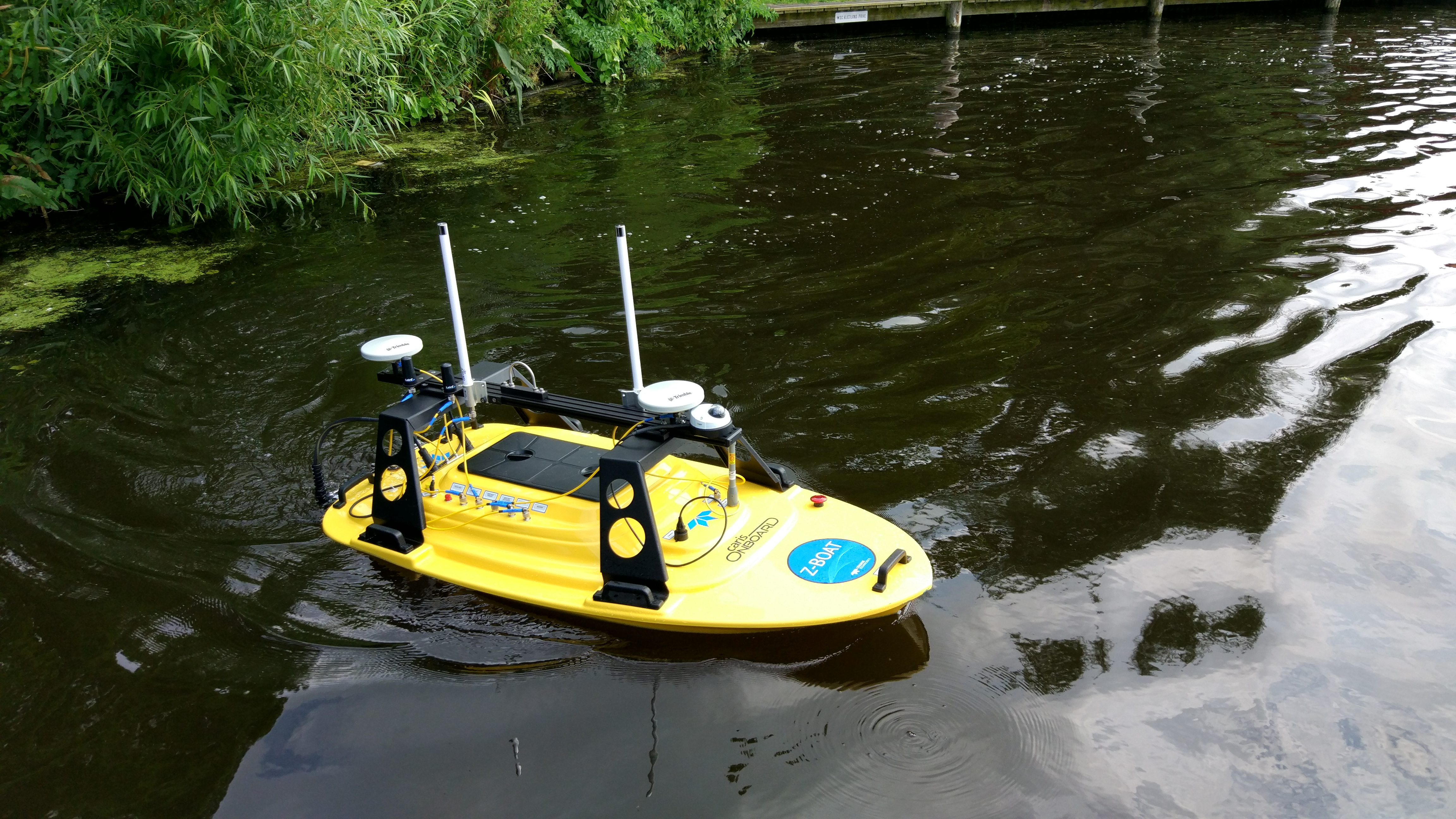
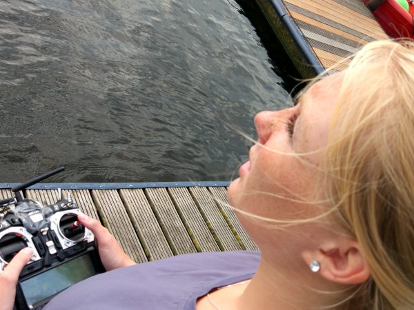
A new way of surveying – perfect for small ports, lakes, rivers and other areas where you can’t go with big boat. This small boat has MBES (multibeam echosounder) on board, RTK/GPS system, motion sensor, 5.8GHz direct data link (with range up to 2km), 3G/4G modem for extra data link connection, remote controller with range as well up to 2 km, system for pre-planning surveys (you can import prepared tracks and push those to autopilot). In any time even in autopilot mode you can take control over the boat. Data are in real-time processed in CARIS Onboard system – through data link you can observe changes of the coverage and start QC for the data. As the result just after finish all your data are almost processed.
This system was used during yearly CARIS Lake Survey – this year together with Fugro Survey in The Netherlands.
What is CARIS Lake Survey – actually every year together with different survey and hardware companies and with students from Maritien Instituut Willem Barentsz Amsterdam we are doing full lake survey in The Netherlands. This is a chance for students to see how the real survey is looking like – starting from deployment of the equipment, following data collection and processing. As the result students are creating a product – a big poster which include ENC, bathymetric data, profiles, detected objects, water columns images of those objects etc. Very often it is the only chance for students to utilise a full functionality of the hardware and software…. as in real life it is looking very often differently.
This year was special – as we didn’t use only standard survey boat – but as well remotely controlled boat which was doing surveys inside port and very close to coastline – where normal boat can’t go. All data were there remotely processed and as the result we had a good dataset for final QC.
Thanks to that we were able to cover much more of the lake area than usually. Plus we had as well some aerial photos in GeoTiff cached by drone… that was creating really interesting dataset….


